“Amar-Uisge/Seòlaid a’Ghlinne Mhòir (Waterway of the Great Glen), Sligh’-Uisge na h-Alba (Waterway of Scotland), (An) Canàl Cailleannach are all names which over the years were given to the Caledonian Canal and the Great Glen a singular construction with a lot of meaning behind.
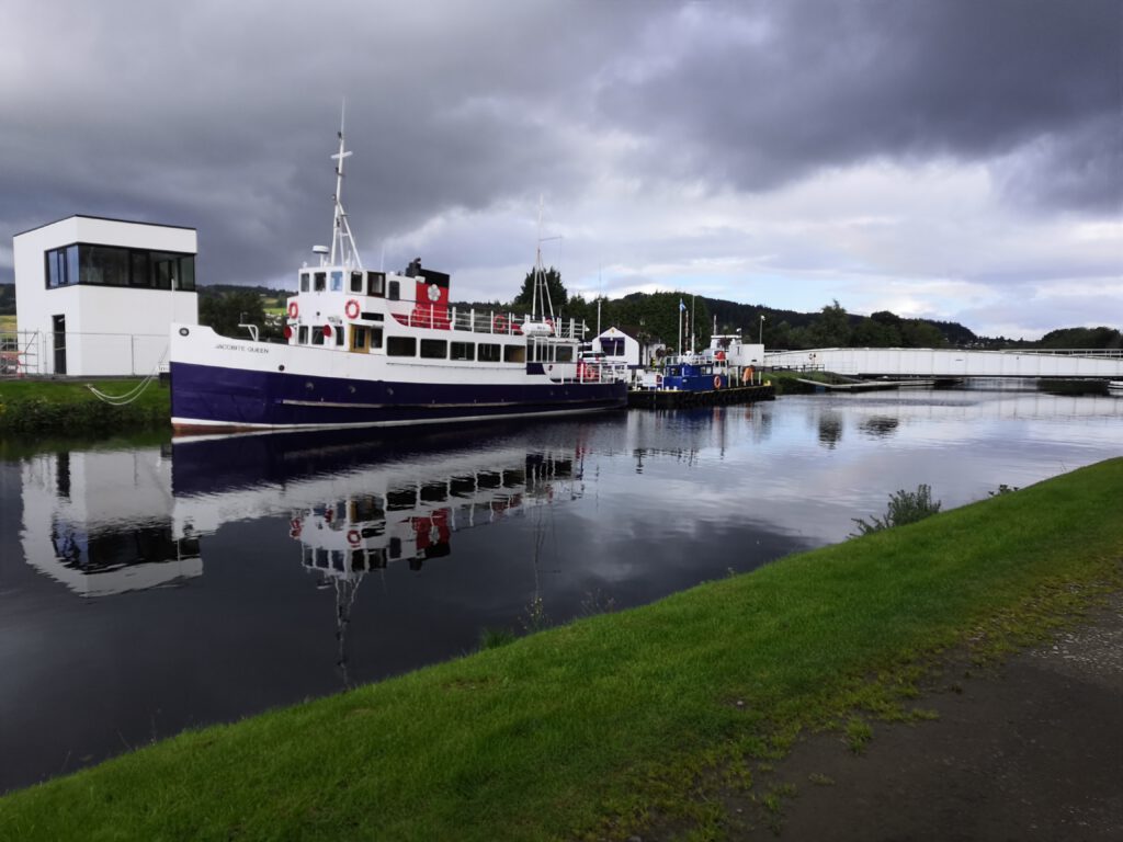
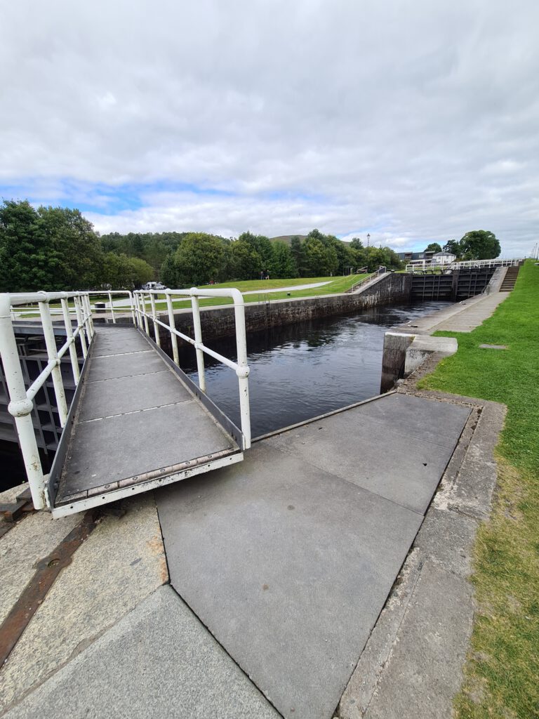
The Caledonian Canal runs next to the Great Glen, partly consisting of the Lochs in the Great Glen. The Canal has all in all 29 Locks, withing those Neptune’s Staircase, the longest staircase lock in Britain, on about 60 miles. It was built from 1803 to 1822 the main engineer being Thomas Tellford, leading from Inverness to Fort William.
In difference to other Canals the Caledonian Canal isn’t all man created but mostly consists of natural Lochs. Loch Lochy, Loch Oich, Loch Ness and Loch Dochfour make about 2/3 of all the Canal, naturally connected by Rivers they always offered a connection of some kind; however, this connection couldn’t be shipped due to the variating depth of water.
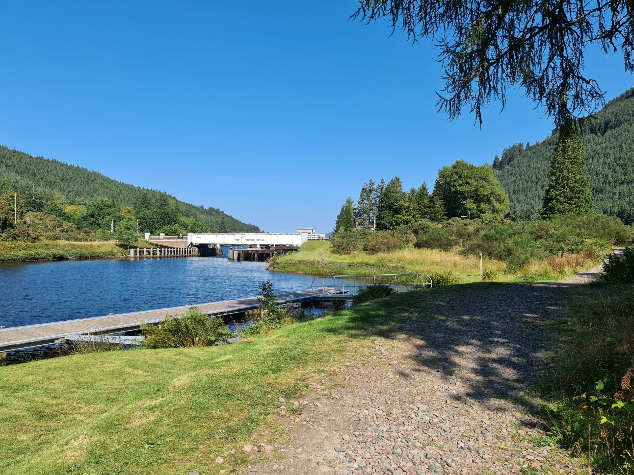
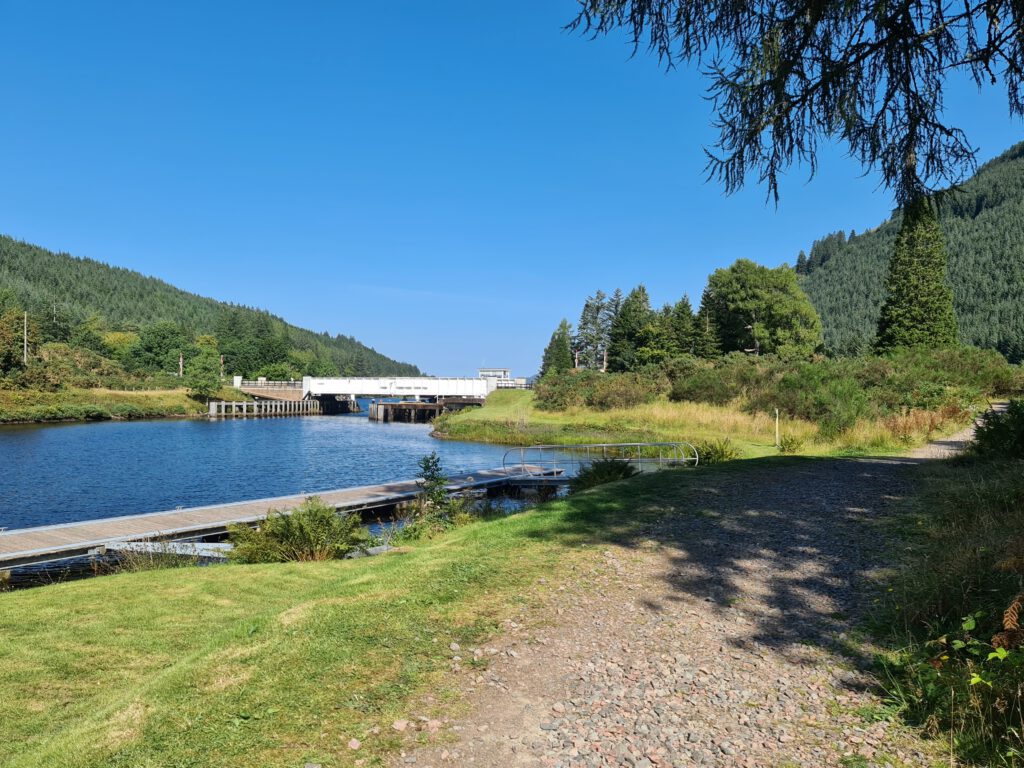
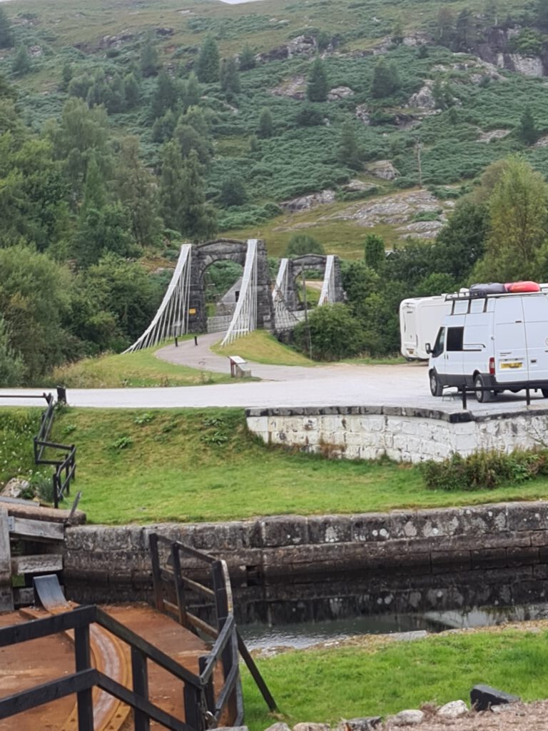
Starting with the Beauly Firth the canal flows through Clachnaharry Sea Lock, while passing below Clachnaharry Swing Bridge, followed by Muirtown Basin, Swing Bridge and Locks; Tomnahurich Swing Bridge and Dochgarroch Lock before emerging into Loch Dochfour. Following this first Loch on the Caladonian Canal is the famous Loch Ness followed by the built Caladonian Canal part next to River Oich with the A82 swing bridge, Fort Augustus Locks, the famous Kytra Lock, Cullochy Lock and Aberchalder swing bridge before emerging into Loch Oich. It is not a lot coming for the next few kilometres of the Canal now, just Laggan Locks before Loch Oich becomes Loch Lochy being followed by Gairlochy Top Lock parallel to River Lochy. Being followed by Mucomir hydro-electric station, B8004 swing bridge, Gairlochy Bottom Lock before finally just following the Canal till Corpach, being pierced with Banavie Locks, better known as Neptune’s Staircase, and another swing bridge before the last three Locks appear on the way, Corpach Double Locks and finally Corpach Sea Lock. The Caledonian Canal at this point emerging into Loch Linnhe, a sea loch connecting it with the Atlantic.

History
Even in 1620 a Highland prophet called the Brahan Seer knew that one day full-rigged ships would be sailing through the Caledonian Canal, in the end they didn’t start building it for another 200 years. After this foretelling, in the 17th century engineers started looking at the feasibility to connect Loch Linnhe with the Beauly Firth. Back then they figured that the idea would be realisable, but Captain Edward Burt rejected the idea in 1726, he thought the mountains would channel the wind and make navigation too difficult.
Commissioners of forfeited Estates were set up to sale the land previously owned by Jacobites which were involved in the Jacobite rising of 1715. In 1773 those Commissioners however decided that they would rather help the fishing industry and hired the mechanical engineer James Watt to survey the route.
James Watt was the one who in 1774 published a report suggesting that the thought of canal from Fort William to Inverness was possible, measuring 10-foot and passes through Loch Lochy, Loch Oich and Loch Ness. His originally planned the canal consisting of 32 locks.
The Canal mostly was hoped to be a big help for the fishing industry, offering a shorter route from the east to the west coast of Scotland. Also creating the possibility of delivering cheaper corn for the population. Even James Watt saw the problem of the winds on the lochs, so the canal again wasn’t built for quite a while.
It was Thomas Telford who published a report investigating the problem of emigration in 1802, asking the government to take action against it. The report suggested to start a lot of building to offer jobs to the locals who had previously lost their occupation due to the highland clearances, and as a result would offer better opportunities to transportation around the Great Glen, stimulating industry, fishery, and agriculture.
Consulting with shipowners who preferred the canal over the journey around the north of Scotland, Telford got to know that both Loch Ness and Loch Lochy were deep enough to be shipped but Loch Oich was neither deep enough nor offered enough possibilities to anchor in case of bad winds, which the first two offered as well. Loch Garry and Loch Quoich were chosen to provide an adequate water supply after Loch Oich being made deeper to be shippable.
Maybe the least known advantage of the canal not being the shorter route but also the protection it offered the ships from French privateers.
Construction
‘An Act for granting to his Majesty the Sum of £20,000, towards defraying the Expense of making an Inland Navigation from the western to the eastern Sea, by Inverness and Fort William; and for taking the necessary steps towards executing the same.’ These were the words used for the title of the authorization to pass project in the Act of Parliament on 27th July 1803.
Just a year later in 1804 the Commissioners of the project obtained a second Act of Parliament, which granted another £ 50,000 per year to be financed by the government.
Telford was asked to design, survey, and build the waterway, working with William Jessop till the second died in 1814. Both the estimated founding needed, and the construction time of seven years were inadequate in the end.
John Telford and Matthew Davidson were appointed to oversee the project, which was started at both ends of the canal at the same time, since Thomas Telford couldn’t visit more than twice a year. John Telford’s health suffered badly under the work, and he as well sadly passed away before the construction was finished, being replaced by Alexander Easton. The grave of John Telford can still be visited in nearby Kilmallie.
When the canal was finally finished in 1822 it costs were about £ 910,000 and it took 12 years longer than expected. This late finishing was due to a few unexpected problems one of them with the sea-lock at Inverness, which needed longer using stones to build and set on the mud at the location. Also, the missing labourer during the harvest seasons were responsible for the delay. Telford brought in Irish navies, which led to further criticism since one reason for the project was to manage the unemployment rate in the Highlands.
In the end the efforts were in vain though. Shipbuilding had advanced and steam-powered ships were too big to cross through the canal and the navy didn’t need the canal anymore as well since Napoleon has been defeated at Waterloo in 1815, seven years before the construction was finished.
Operation
In 1843 part of Corpach double lock collapsed and the canal in general showed defects in materials used which led to the canal being closed to repair them, extending the depth to 18 feet. These reparations however were designed by Telford’s associate James Walker and completed between 1843 and 1847 costing another £ 136,089.
The usual planed traffic never came to the canal but after Queen Victoria took a trip along the canal in 1873 the number of tourists visiting increased largely and with the railways to Fort William, Fort Augustus, and Inverness it was easier to get to the Canal, from there having steamboat services connected to the railway services.
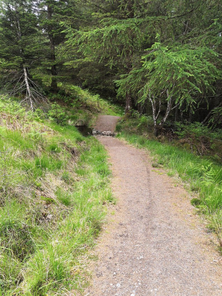
After being used in many ways during the World Wars it was Scheduled an Ancient Monument, these days attracting 500,000 visitors each year, mostly due to the Great Glen Way.